
")
Graphite Range Community Forest
Driving along busy Route 9 in Wilton, New York, within one of the fastest growing counties in the state, it is hard to imagine that nestled between the restaurants and shopping plaza, lies a gateway to a exciting new recreational and conservation resource for the community.
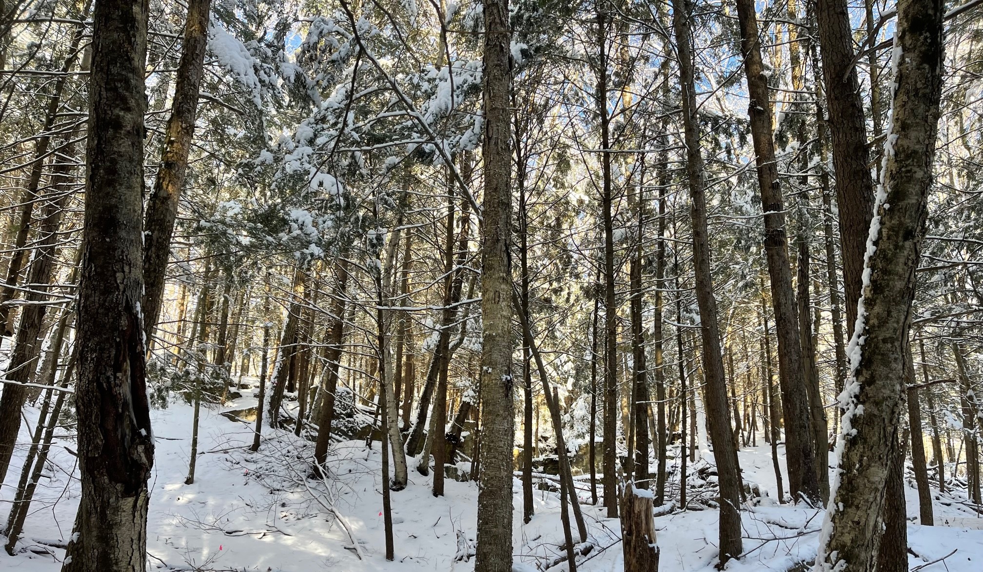
Graphite Range Community Forest is a multi-use, community-managed forest owned by Saratoga County, with Saratoga PLAN designated as the land manager. Stretching across 200+ acres, this new community forest is a recreational hub for the surrounding communities and a space for environmental education and economic opportunity – all while helping to permanently protect the ecological value and resilience of the southern foothills of the Adirondacks, an area vital for regional natural resource connectivity.
For the safety of all, visitors are encouraged to enjoy this space during daylight hours. Those present after dark may be asked to leave at the County’s discretion.
A community forest – created for & by the community
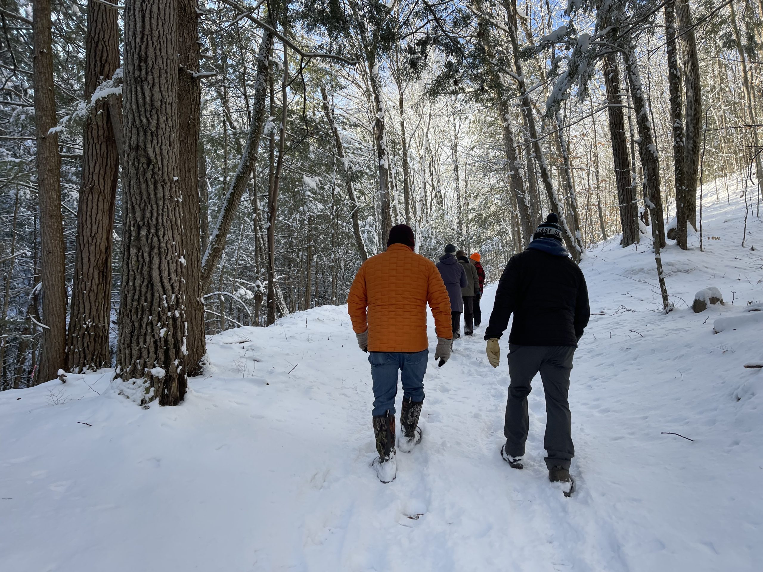
With generous support from local families, businesses, and the dedication of the GRCF Advisory Committee, the Graphite Range Community Forest features over 5 miles of trails for hiking and mountain biking, snowshoeing, and cross-country skiing. The professionally designed trails guide visitors through the preserve showcasing historic foundations and hidden caves. Boardwalks, bridges and trails will enable recreational use while protecting sensitive habitat and headwater streams.
Alongside a dedicated crew of volunteers and community groups including the GRCF Advisory Committee, PLAN is leading the ongoing stewardship of the trails.
A dynamic community hub
The trails throughout Graphite Range Community Forest are envisioned to be a central hub of a larger 50-mile trail network known as the Sarah B. Foulke Friendship Trails system, which will hopefully one day extend from Saratoga Springs to Moreau Lake State Park.
People of all ages and abilities will be invited to enjoy a true nature experience just a few miles from downtown Saratoga Springs.
A critical-to-conserve area
Permanent protection of this 200+ acre property as a community forest has prevented future development which would impair or destroy its delicate natural resources – a likely alternative outcome in a rapidly growing region with significant development pressure. Instead, a rocky ridgeline, tumbling creeks, a diversity of northern hardwood forests, and an old graphite mine are among the wonders awaiting exploration and interpretation.
A worthwhile investment
The recreational opportunities provided by this property will attract both community and regional visitors (visitation at the two state parks in the Palmertown area alone tops 3.5 million people annually), benefitting local tourism and recreation-related businesses such as outdoor stores, restaurants, and lodging.
To make a non-cash donation, such as gifts of appreciated stock, click here.
Trail STATUS:
All trails open!
ATTENTION: COYOTE TRAPS ON ADJACENT LAND. Please stay on trail and leash pets. NYS DEC has permitted coyote extraction to occur on neighboring parcels for the protection of pets and livestock.
Please remember to lock your car and take valuables with you. There have been a few recent break-ins in the parking lot.
SHARE YOUR FEEDBACK
Report an incident
Street Address
721 Route 9, Wilton, NY 12831
LEARN MORE
The community forest is a piece of a larger conservation and recreation project: the Palmertown Range.
Watch the entire Palmertown Range
series here.
Project Partners
Saratoga County
Saratoga PLAN
OSI
Wilton Partners LLC
FEderal Grant Recipient
This project has been awarded $391,000 from the U.S. Department of Agriculture’s (USDA’s) Community Forest Program, a highly competitive federal grant!
This community forest project was made possible thanks to the vision and generosity of the Winter family who acquired the land with a commitment to conserving it with and for the benefit of the local community.